Commissioned by Dublin City Council and produced by Noho, “Dublin’s Historic Timeline” provides an intuitive way to browse a detailed visualisation of the development of Dublin City since it’s foundation.The concept was built around a map of the city, animated over time, providing a view of the city’s development over hundreds of years. My brief was to give the user control over this animation using a physical interface.
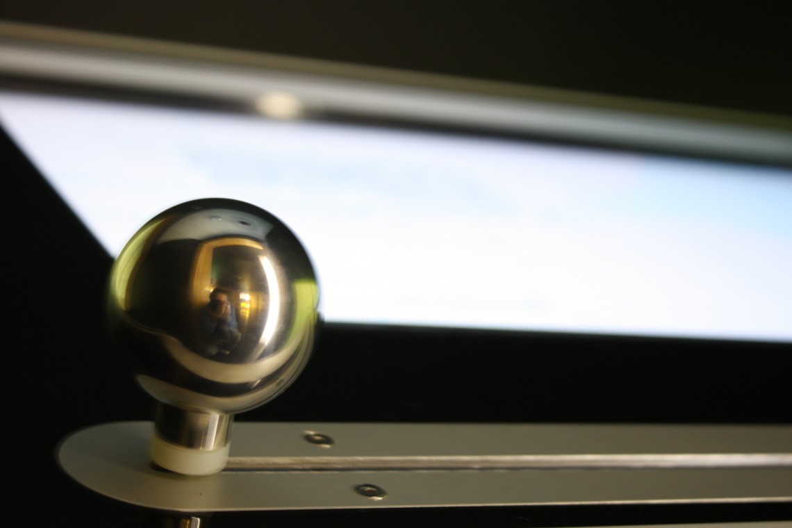
During prototyping on a touchscreen, a second layer of interactivity was added – by touching the screen the user reveals a “Modern Dublin” viewer which looks “through” the historic map at a satellite image of the modern city.The physical interface was built using a linear potentiometer connected to an Arduino Duemilanove microcontroller. The current passing through the potentiometer is measured and a number sent to Flash via a proxy server running on the host PC.
When this information reaches Flash it allows the user to “scrub” through the animated map by sliding the handle over and back.
More information can be found in the Development Blog Post.During some initial problems with hardware, we reverted to an interface which resided on the screen. The fact that the screen was not multitouch limited the interactions slightly as only one function could be used at a time.The end product was a beautiful, robust and reliable physical interface, with kiosk design and construction by Fire.


Comments by John Lynch
Copenhagen to London
"Miguel - so happy you enjoyed the talk. While this post is..."